
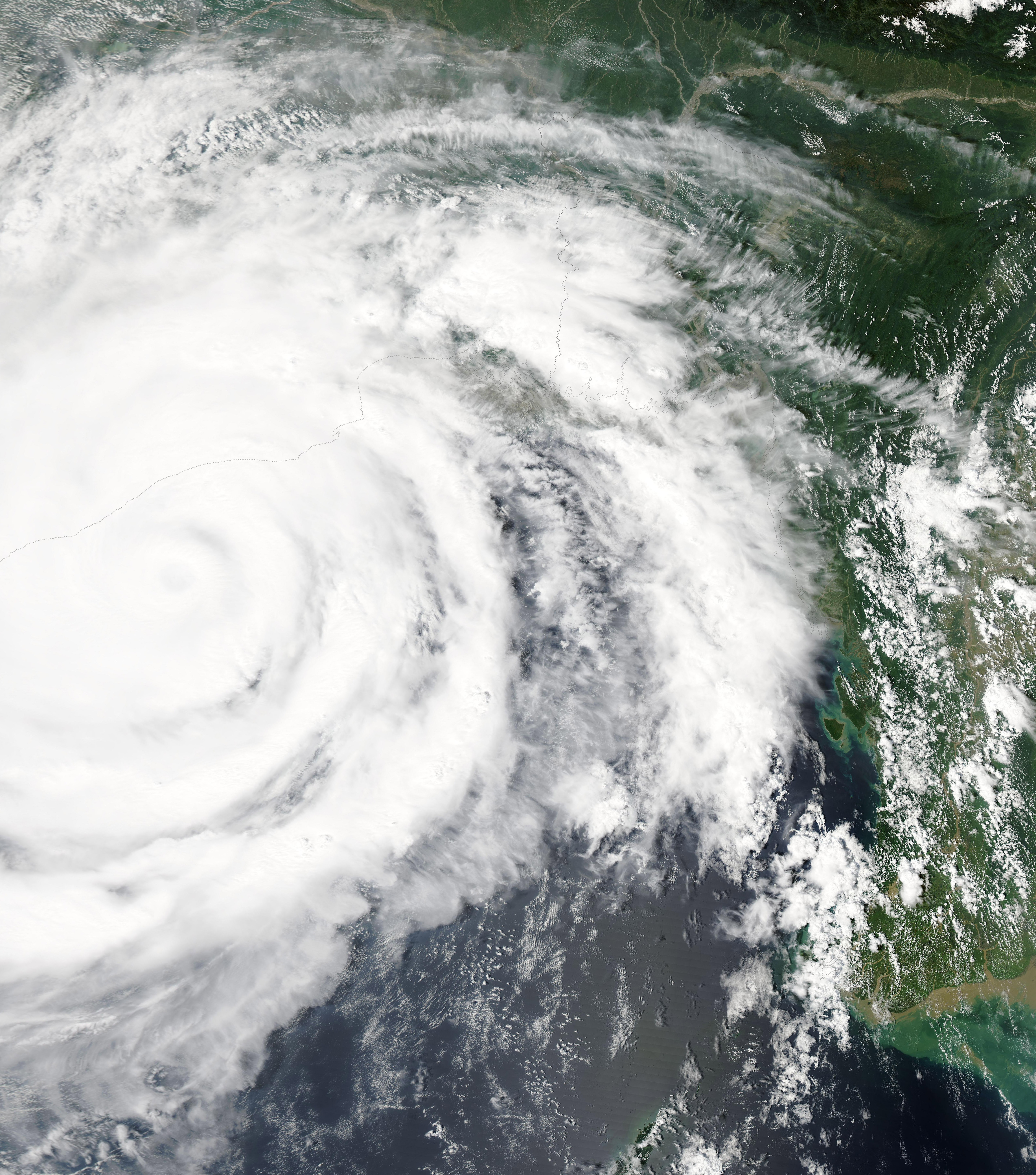
Satellite view of Cyclone Phailin over the Bay of Bengal in 2013 (archive image — illustrative, not Cyclone Akvan). (NASA / MODIS / Wikimedia Commons, public domain)
Cyclone Akvan is heading for the Andhra Pradesh coast, where it is expected to make landfall around noon on Friday 20 November 2026 with sustained winds of 120–130 kilometres per hour, gusting to 145 kmph, and waves above 14 metres. The India Meteorological Department has warned of heavy to extremely heavy rain across Andhra Pradesh and neighbouring states, and the state government is preparing for the third cyclone to threaten the coast in a month.
Akvan — the name is Persian for "demon" — is currently a cyclonic storm over the Bay of Bengal, moving slowly north-northwest towards the Andhra Pradesh coast. The IMD said in its bulletins on 17 November that the storm will intensify into a severe cyclonic storm by Tuesday night and into a very severe cyclonic storm by the evening or morning of 19 November, before making landfall between Nellore and Tuni, a 540-kilometre stretch of the Andhra Pradesh and Yanam coasts.
At 5:30 am on 17 November, the storm was about 610 kilometres east of Chennai, 630 kilometres northeast of Trincomalee in Sri Lanka, 660 kilometres southeast of Machilipatnam and 670 kilometres south-southeast of Visakhapatnam. Its slow movement gives the authorities time to prepare — but it also means the storm will spend longer over warm water, gathering strength before it hits land.
Landfall Forecast and Warnings
The IMD has issued an Orange warning for the Andhra Pradesh coast and the adjoining south Odisha coast, and heavy to extremely heavy rain is expected across Andhra Pradesh, Telangana, Tamil Nadu, Odisha and West Bengal. The landfall is expected around noon on 20 November, with the worst of the wind and rain arriving in the hours before and after.
Waves above 14 metres — about 46 feet — are expected along the Andhra coast from the night of 19 November until landfall. The storm surge, combined with the heavy rain, is the main threat to life and property: storm surges flood coastal towns, and the rain can cause flash floods inland.
Preparations Under Way
Fishermen have been warned to stay ashore, and the authorities are preparing evacuation plans for low-lying coastal areas. Shelters are being readied, food and water supplies stockpiled, and power restoration teams put on standby. Chief Minister N. Chandrababu Naidu has held a review meeting on the state's preparations, and the state disaster management apparatus is on alert. The experience of the two earlier cyclones this month will inform the response, but Akvan is expected to be stronger than either of them.
Third Cyclone in a Month
Akvan is the third cyclone to threaten Andhra Pradesh in a month, and the frequency of the storms is itself a story. The Bay of Bengal is one of the world's most cyclone-prone regions, and the post-monsoon season — October to December — is the peak period for storms. But three threats in a single month is unusual, and it puts sustained pressure on the state's disaster response system.
Each cyclone requires the same preparations: evacuations, shelters, food and water supplies, power restoration teams, and medical facilities on standby. Doing it three times in a month stretches the system and the people who run it, and it also stretches the patience of the coastal communities who are asked to leave their homes again and again.
The IMD's forecasting has improved steadily, and the landfall window — around noon on 20 November, between Nellore and Tuni — is now precise enough for targeted evacuations. The question is whether the preparations are enough for a very severe cyclonic storm with gusts of 145 kmph.
What to Expect
For people on the Andhra coast, the next three days will follow a familiar pattern: warnings, preparations, and then the storm itself. The IMD's advice is clear — stay indoors during the landfall, avoid coastal areas, and follow the instructions of the local authorities. For fishermen, the advice is to stay ashore until the storm has passed.
The storm will weaken after landfall as it moves inland, but the rain will continue, and the risk of flooding will persist for days. The full impact of Akvan will only be clear after 20 November, when the damage can be assessed and the recovery can begin.
For now, the forecast is the story: a very severe cyclonic storm, a noon landfall on 20 November, winds gusting to 145 kmph, and waves above 14 metres. Andhra Pradesh has faced this before — twice this month alone — and it is preparing to face it again.
Related reading: Quad Summit in Manila as APEC Opens in Shenzhen and India Beat Pakistan 2-1 to Win 10th SAFF Title. More world news: World News.
FAQ
When will Cyclone Akvan make landfall?
Around noon on Friday 20 November 2026, between Nellore and Tuni on the Andhra Pradesh and Yanam coasts, according to the India Meteorological Department.
How strong will Cyclone Akvan be?
It is expected to become a very severe cyclonic storm, with sustained winds of 120–130 kmph gusting to 145 kmph, and waves above 14 metres along the Andhra coast.
Which areas are affected?
The Andhra Pradesh coast and adjoining south Odisha are under an Orange warning. Heavy to extremely heavy rain is expected across Andhra Pradesh, Telangana, Tamil Nadu, Odisha and West Bengal.
Comments
Post a Comment